


New Zealand Bird Atlas finishes on a high
On the 31st May 2024, the Atlas project came to a close after an amazing five years’ worth of Atlasing. This was a project that was dependent on a community united by a shared passion, and we’ve been blown away by how the community have come together to meet the aims of the project.
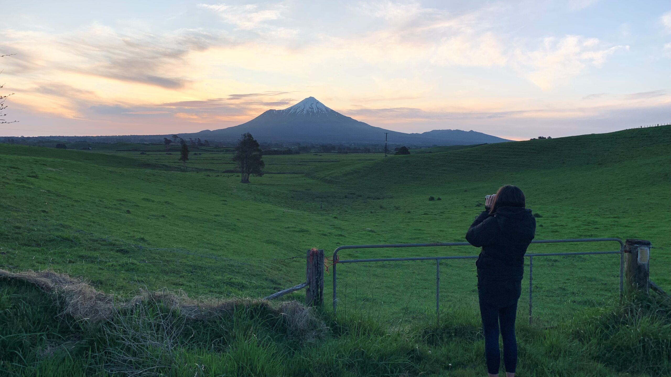
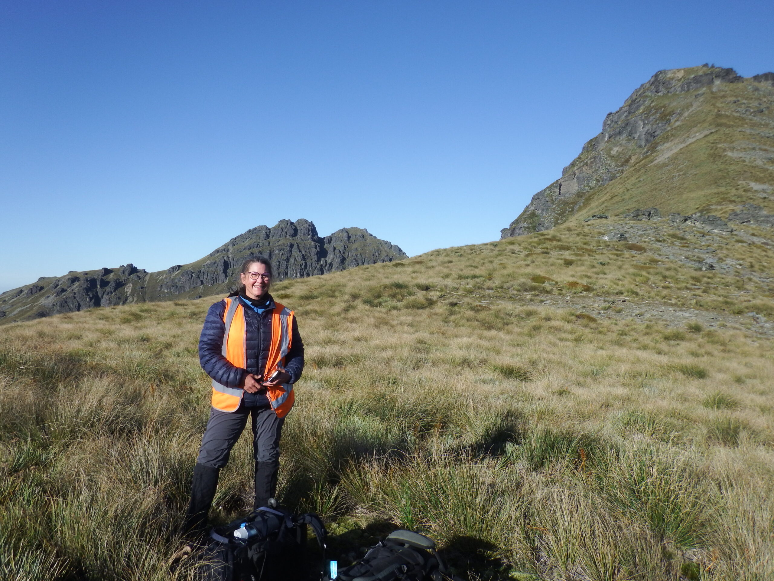
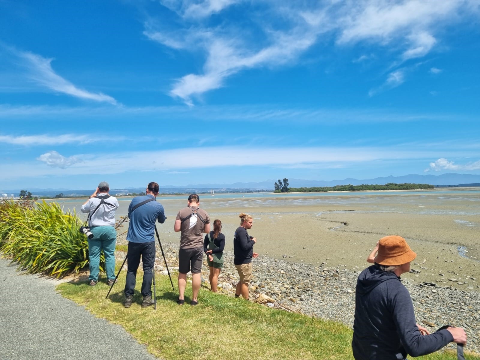
Samantha Ray Atlasing Taranaki. Image credit: Dan Burgin
A key aim of the project was to collect up to date information on bird species in Aotearoa New Zealand to help inform conservation decision making in the future, and ultimately trying to prevent more species from coming as close to extinction as species like kākāpō. An important output from this new Atlas project will be the ability to compare bird occupancy estimates between the past two Atlas project datasets, enabling us to describe nationwide changes in bird distribution since the first Atlas that ran from 1969-1979. This will help mitigate against the potential negative impacts of shifting baseline syndrome.

Pete McClelland Atlasing Southland. Image credit: Dawn Palmer
Milestone after milestone
Quite simply, the Atlas community have achieved an incredible feat, helping amass a vast amount of valuable bird observation data across the country into the Atlas eBird portal. We are over the moon with how the project progressed and helped inspire a community to come together and gather a nationally significant dataset. In line with the past two projects, this has helped continue the impressive legacy of the Birds New Zealand Atlas scheme.

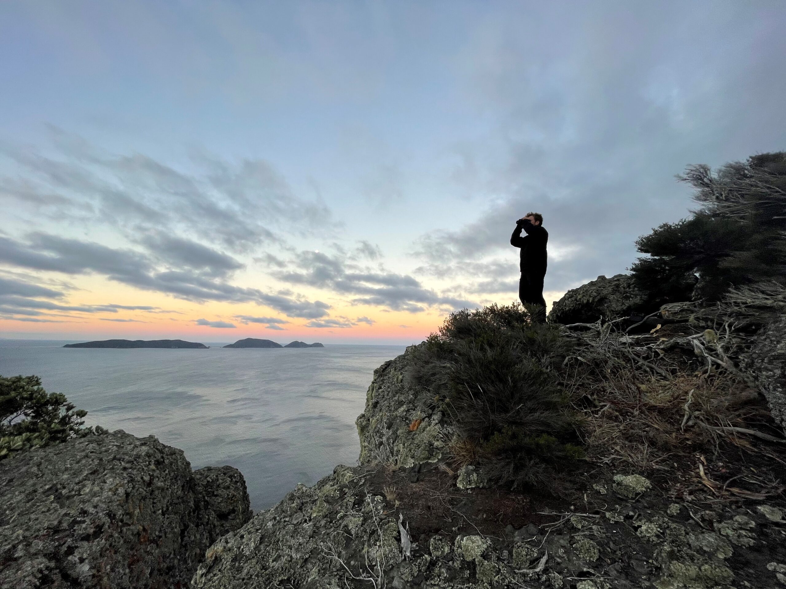
Joseph Bliss Atlasing Southland. Image credit: Anna Harris.
A strong partnership with the Cornell Lab of Ornithology allowed this Atlas scheme to be the first in its history to be a digital-first project. With eBird offering real-time data entry and outputs, the Atlas community were able to enter observations directly through the eBird app, as well as follow along with results throughout the project. This was a far cry from the paper-based days of previous Atlas projects! Consequently, this allowed the community to continually get an up-to-date picture over the years to clarify which areas needed more attention, both day and night, to better spread the community’s efforts across the country.
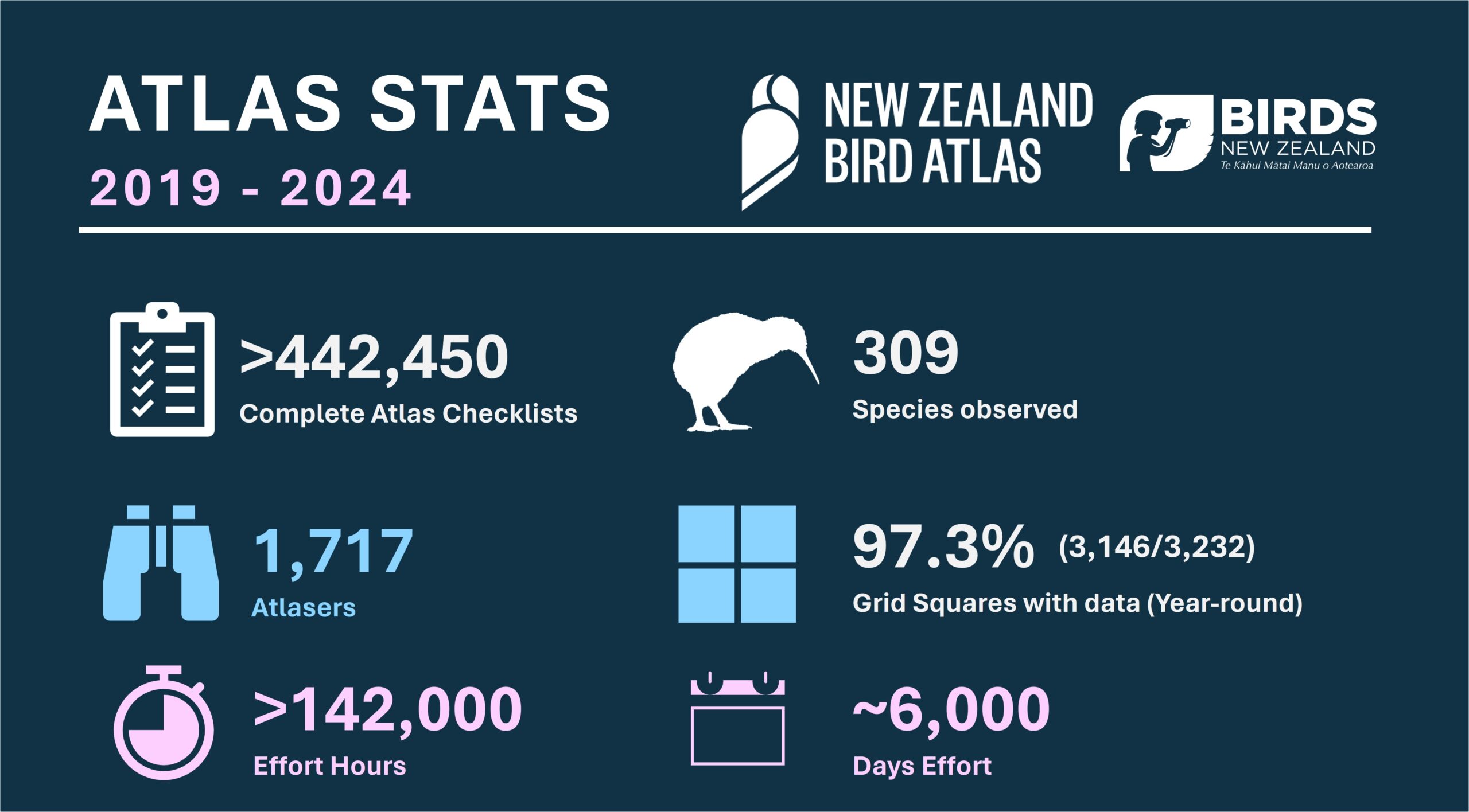
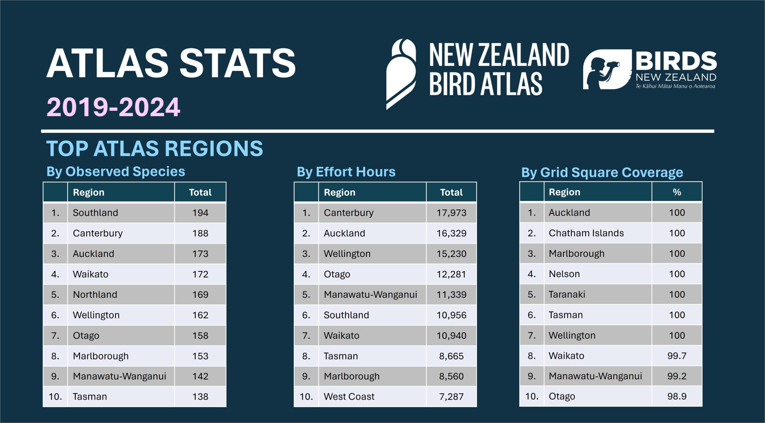
An impressive 442,000 complete eBird checklists have been submitted by over 1,710 Atlasers. That’s an average of 88,400 checklists per year over the project’s lifespan. An incredible 97.3% of grid squares (3,146 of the 3,232) received some Atlas data in them year round, even if it was only five minutes. The addition of the Department of Conservation’s national Tier 1 bird count dataset into the Atlas portal was a welcome boost, providing vital observations from those harder to reach spots. Over 142,000 effort hours went into the project, equating to over 6,000 days’ worth and nearly $3.4 million dollars if paid out at living wage. This doesn’t include the time spent planning and travelling, nor does it take into account the cost of that time and travel. To add to that, the community navigated a global pandemic, with lockdowns, as well as the rising costs of living over the years. Yet they carried on, determined and as passionate as ever to collect this expansive dataset. When looking back it is increasingly apparent what a significant achievement this is, over a relatively short space of time.
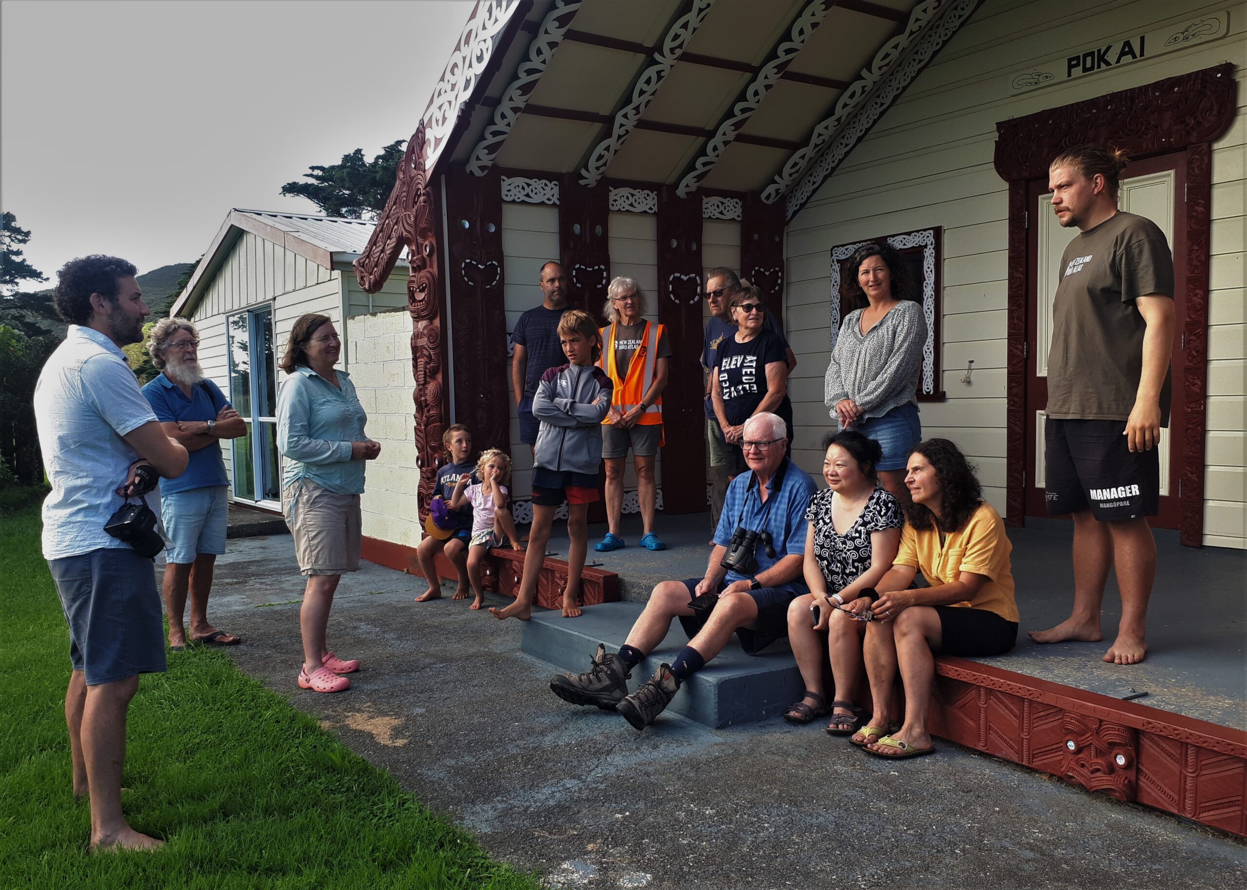
Atlas group at Gisborne marae. Image credit: Stephen Legg
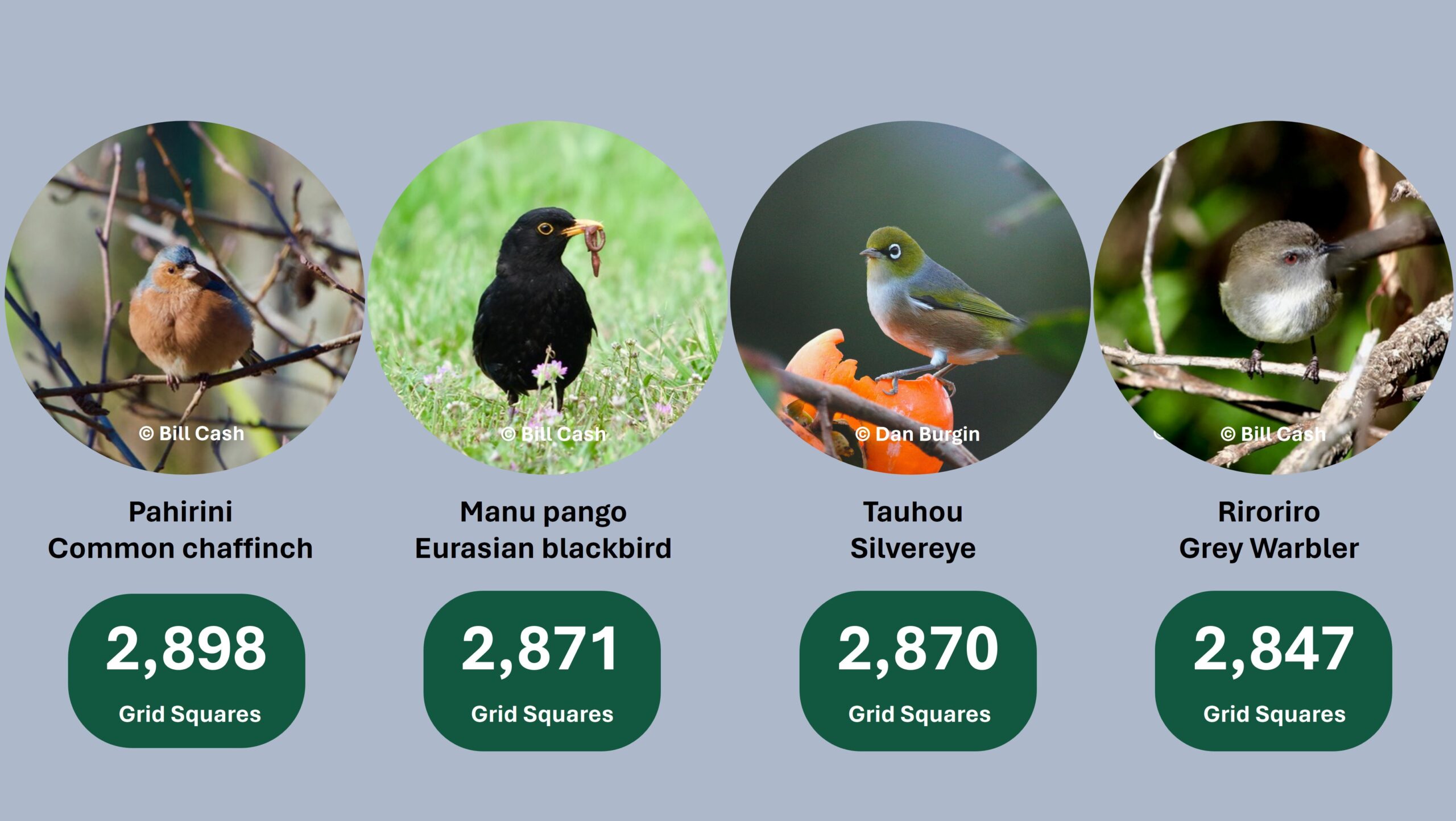
Top detected species
The top four most widely distributed species were:
The power of community science
New Zealand’s bird species face a myriad of threats on a daily basis, and many are sadly teetering towards extinction. We desperately need regular information on where bird species are, and in what numbers, to better inform effective conservation management and research. Birds are valuable sentinels of the environments they reside in. So, by taking observations of the birds we see and hear in our daily lives, and logging them into a centralised place such as eBird, we can help better monitor the state of our ecosystems. This is where the Atlas project, and community science initiatives like eBird can be of superb value. Bird conservation increasingly needs more eyes, ears, and perspectives than any single scientist, or organisation, possesses. Community science can empower people to provide those extra sets of eyes and ears and help create stronger collaborations between scientists and those of us who are driven to make a difference.
The Atlas dataset has already been utilised for myriad research and conservation avenues over the years. We know this will continue beyond the Atlas and are excited to see what the community’s efforts help inform. Over the course of the project, we worked with various stakeholders who had requested Atlas data to upload the large bird datasets they were working with. This included DOC, Environment Canterbury, Environment Southland, and other regional councils.
Dawn Palmer Atlasing Southland. Image Credit: Pete McClelland
Funding Acknowledgements
This Atlas project was lucky to receive funding over its lifetime from various sources. Thanks to the Lotteries Grants Board and the DOC Community Fund for providing funding for the coordination of the project for the first three years. The final two years of coordination were all voluntary due to many unsuccessful funding applications. We are immensely grateful to Toi Toi wines, who provided valuable funding to support targeted Atlas trips around the country. This resulted in successful expeditions to Gisborne, Northland, the West Coast, Southland, Otago and Wairarapa. Thanks so much to all those who gave up their time to support these expeditions, and those who helped coordinate and lead too.
Peter Fryer and Archer Mawson Atlasing Wairarapa. Image Credit: Christopher Tuffley
Thank you
Myself and my colleagues at Wildlife Management International Limited (WMIL) have felt privileged to coordinate the Atlas project on behalf of Birds New Zealand. We are confident that the results of this project will guide and influence national and regional government conservation policy planning for decades to come. Data quality was of critical importance and to ensure that data collected by participants was as scientifically valuable as possible we came up with the ‘Atlas essentials‘ for the community to follow. As a consequence the quality of the majority of data flowing into the Atlas eBird portal was of high scientific value, namely through being complete checklists, with accurate abundances for all species, and of high resolution over time and distance. The eBird team have praised the project as having one of the best datasets globally for national spatial coverage and data quality. With that in mind, those essentials are something we want you all to continue sticking to, so that we don’t have to wait another 20 years for the next Atlas to understand how birds are faring in Aotearoa.
Maree and George Atlasing at Bendigo. Image Credit: Richard Schofield
Thanks to Choir (previously Novo Advertising and Design) who came up with the distinctive Atlas logo. The marque is reminiscent of a kākāpō, or a ruru/morepork which, are both sometimes referred to as Te Manu Huna a Tāne (the hidden bird of Tāne), due to their nocturnal habits. This was a nod to one of the aims of the New Zealand Bird Atlas, which was to reveal patterns and trends in bird distribution that are currently hidden to us.
![]()
A huge thanks to the eBird team for their continual support of the Atlas project over its lifetime. The custom-made Atlas portal was of immense value over the course of the project.
The Atlas team and eBird team at a December workshop in Nelson. Image Credit: Deleece Augustyn
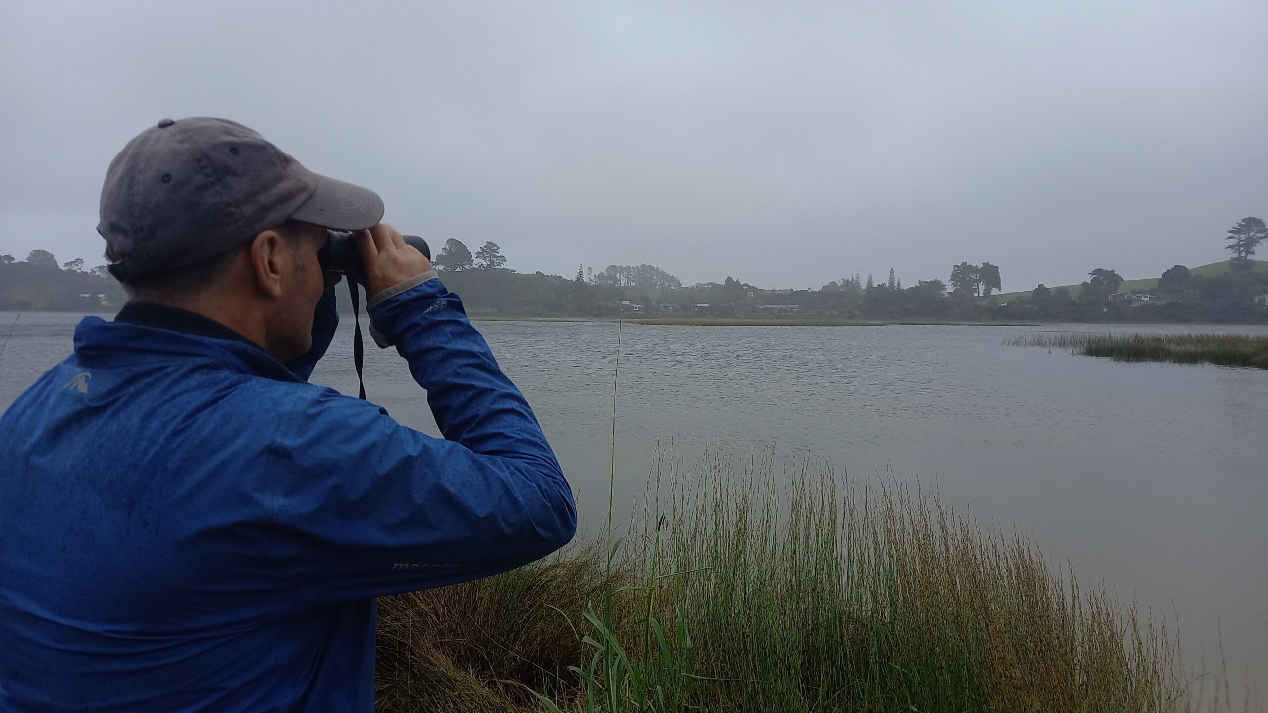
Ian Mclean Atlasing Northland. Image credit: Trina Smith
As always, we can’t thank you, the community, enough for contributing so much of your time and efforts to the project. You should be so proud of your achievements! Community science projects like these thrive off the dedication of volunteers, and the amount of support and passion the community has provided is phenomenal. We know many regions undertook regular Atlasing outings, and continually advocated with their local communities to get involved with the Atlas. We also appreciate that there have been some huge individual efforts to gather data over the years (more on this to come). We wish to acknowledge this all as key drivers of the success of the project.
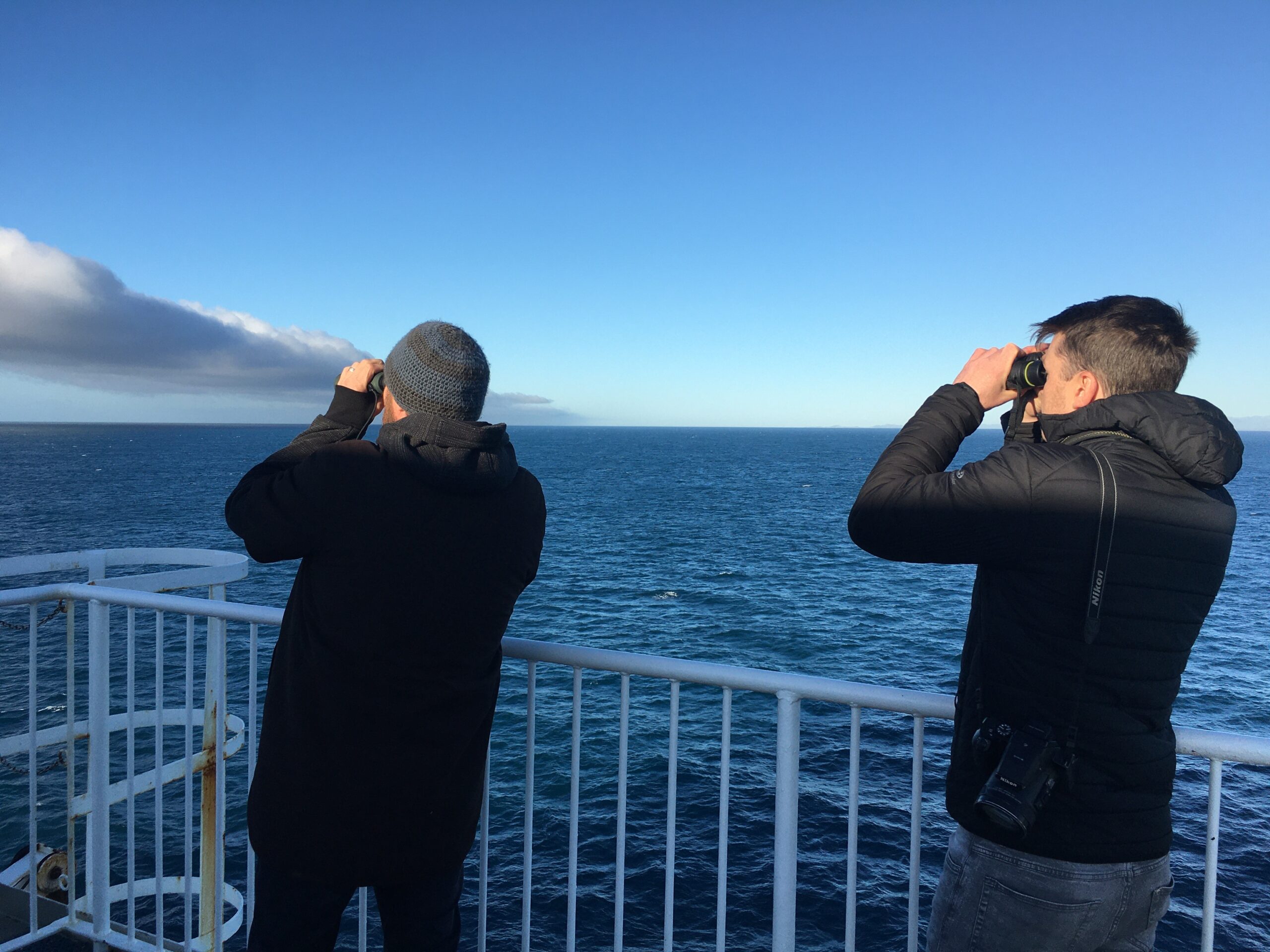
Mike Bell and Pat Crowe Atlasing Cook Strait. Image Credit: Dan Burgin
Post Atlas
Many of you might be thinking, now what? Do we just hang up our binoculars and wait for the next Atlas? Far from it! We strongly encourage members to continue to submit their valuable birding observations on a regular basis to the New Zealand eBird portal. This will help continually update the impressive and cutting-edge Status and Trends updates that the Cornell Lab of Ornithology produce each year.

We have made a strong recommendation to BirdsNZ Council to create an eBird Coordination team and ‘eBird Aotearoa New Zealand’ to be set up as an official BirdsNZ project. This will help regularly facilitate engagement with the membership and wider birding community in New Zealand to advocate for eBird use, support the voluntary team of eBird reviewers and help promote eBird data entry and data use with organisations such as the DOC, Manaaki Whenua Landcare Research, and regional councils.
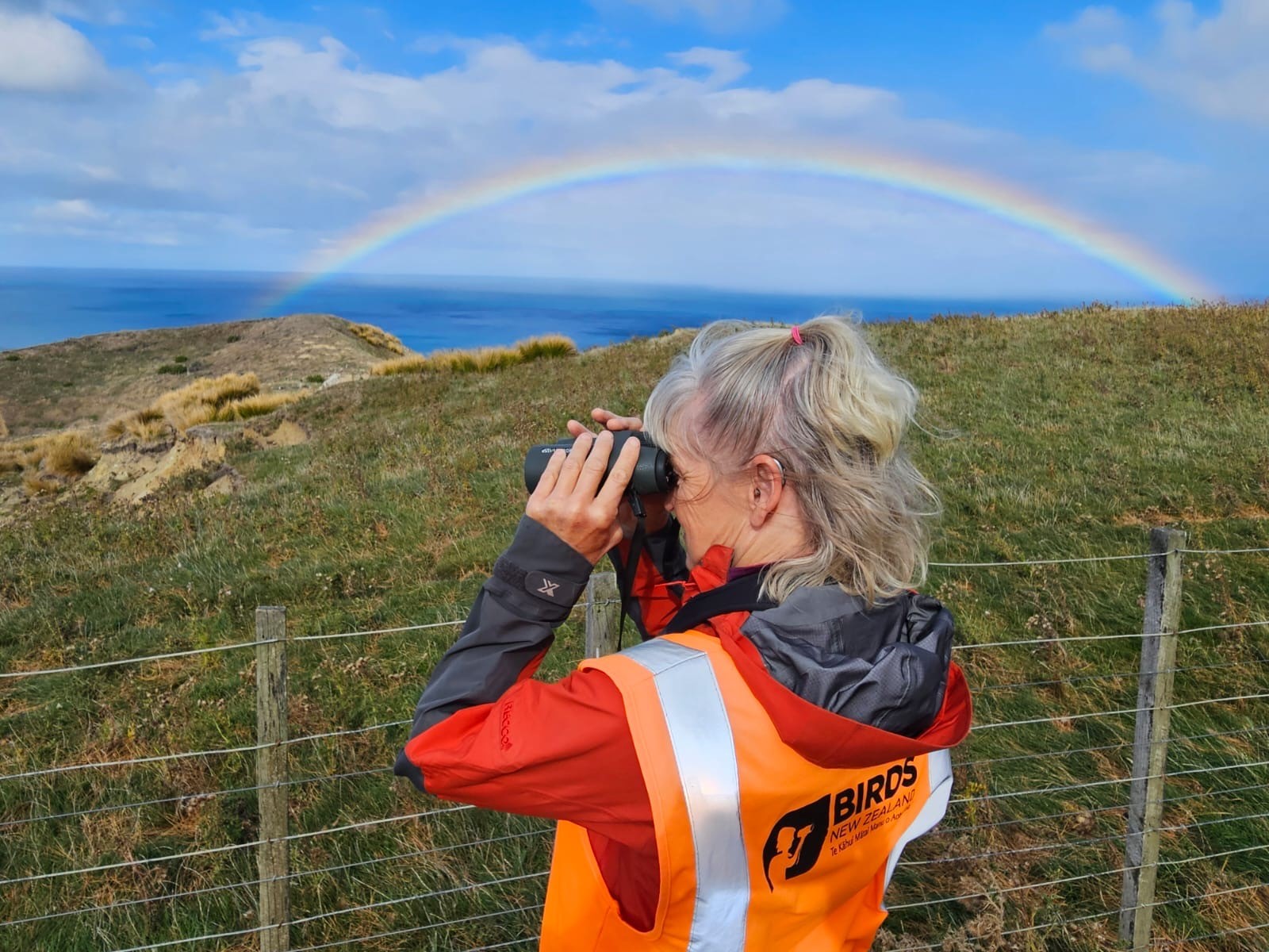
Kirsten Olsen Atlasing. Image credit: Stephen Legg
There is a lot going on in the world right now in the wake of climate change, and biodiversity loss, and it can leave you feeling helpless as to how best to make a tangible change. If you take anything away from participating in the Atlas, let it be that you can make a positive difference, and—under the lens of bird conservation—make a difference by regularly submitting your bird observations to eBird. Let it be something that empowers you simply by doing something we all love; watching and taking note of the birds around us.
We can’t wait to see what we can continue to achieve together as a community. Have fun out there and keep in touch.
Happy birding!
NZ Bird Atlas Team
Dan, Mike, Pat and Sam
Dan Burgin Atlasing on Taranga (Hen Island). Image credit: Pat Crowe