Your eBirding data helps create tools that can be used to further conservation, inspire support, and inform ecological management strategies. eBird in Action is a segment which shares the conservation stories made possible because of your contributions.
Joe Lancaster, the biological team leader for the Gulf Coast Joint Venture, sat down with us recently to discuss the importance of the Cornell Lab of Ornithology’s eBird program in informing conservation and management practices. The Gulf Coast Joint Venture is a partnership of state, federal, and non-governmental organizations focused on bird habitat conservation within the coastal region of Texas, Louisiana, Mississippi, and Alabama.
“One of the Joint Venture’s jobs,” Lancaster says, “is to translate population objectives in the North American Waterfowl Management Plan to habitat objectives that support waterfowl population in our region. This involves stepping down continental waterfowl populations objectives to meet the energetic needs of waterfowl within the Gulf Coast Joint Venture region.” One issue, Lancaster explains, is that those objectives apply only to a single date. “It doesn’t account for known temporal fluctuation in waterfowl populations across the nonbreeding season, so we need to incorporate additional information to account for seasonal fluctuations,” said Lancaster.
The Gulf Coast Joint Venture uses eBird data to fill those seasonal gaps. “With eBird data we’re able to develop an objective across the entire planning period,” says Lancaster. That information then gets fed into additional calculations to determine how much habitat is needed to support waterfowl species throughout the nonbreeding season based on energetic demands and population objectives. “This process,” Lancaster says, “allows us to translate population objectives into habitat objectives to start to understand how many acres we need to support the foraging demands of our waterfowl populations.”

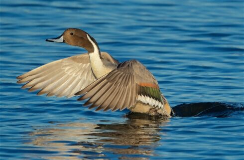
Northern Pintail © Harlan Stewart / Macaulay Library
The Joint Venture uses this information to identify regions where a specific type of habitat may be lacking and start working with partners to put more habitat on the ground, thanks in part, to participatory scientists who share bird observations with eBird. This information has been particularly useful for a program administered through Ducks Unlimited, called the Texas Prairie Wetlands Program, which works with private landowners to improve the quality and quantity of seasonal habitats for nonbreeding waterfowl. “Our information basically shows that in the Louisiana and Texas Chenier Plain, we have sufficient types of that type of habitat to support our population objective, whereas in our Texas Mid-Coast region we have a deficit in that type of habitat. So, that program has shifted to focus more on the Texas Mid-Coast and improving habitats there to reduce the deficit in that region.”
Lancaster thinks that participatory science data from eBird could be employed across all joint ventures, helping to meet population and habitat objectives throughout the United States. “If we didn’t have eBird data, we would still develop objectives, because that’s what we’re tasked with doing. But the data that we would have to use to develop those objectives would probably come with a few more assumptions and we’d probably have a little bit less confidence in our recommendations,” said Lancaster.

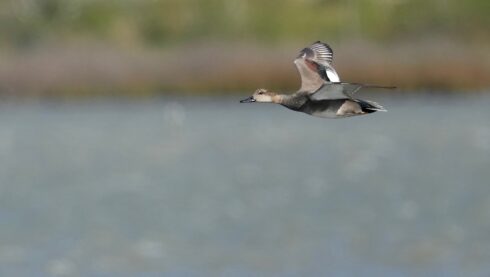
Gadwall © Sunil Thirkannad / Macaulay Library

